Posts Tagged ‘map’
The Island Churches of the Strand
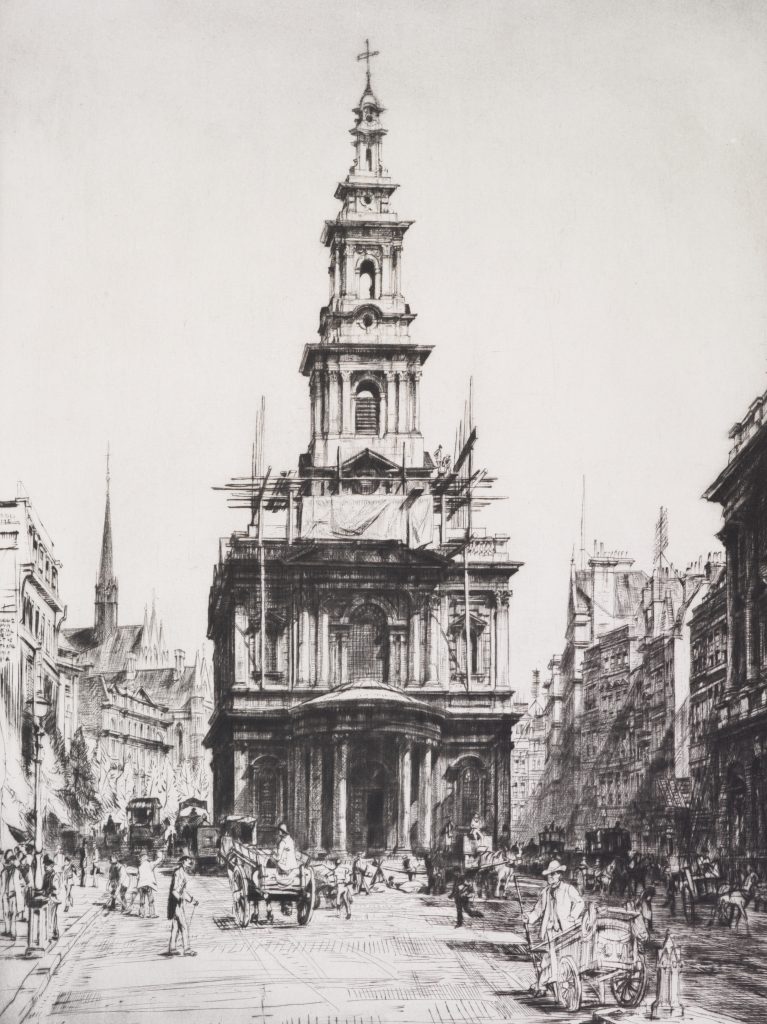
Many King’s students have likely passed the ‘Island Churches’ of the Strand as they make the pilgrimage from Somerset House to the Maughan Library. Likewise, many Strand dwellers may recognise their spires from afar, perhaps unaware of their history. Just a few minutes walk separate St Mary le Strand, located between Bush House and the…
Read MoreA short history of Great Queen Street
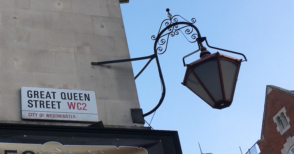
Laid out around the time of construction of Covent Garden and Lincoln’s Inn Fields, Great Queen Street, just to the North East of Covent Garden, was the third step of the quest for homogeneity that seventeenth-century London then wished to pursue. Following the same principles of houses already built in the Covent Garden area, brick…
Read MoreNotes on the Kingsway Tunnel
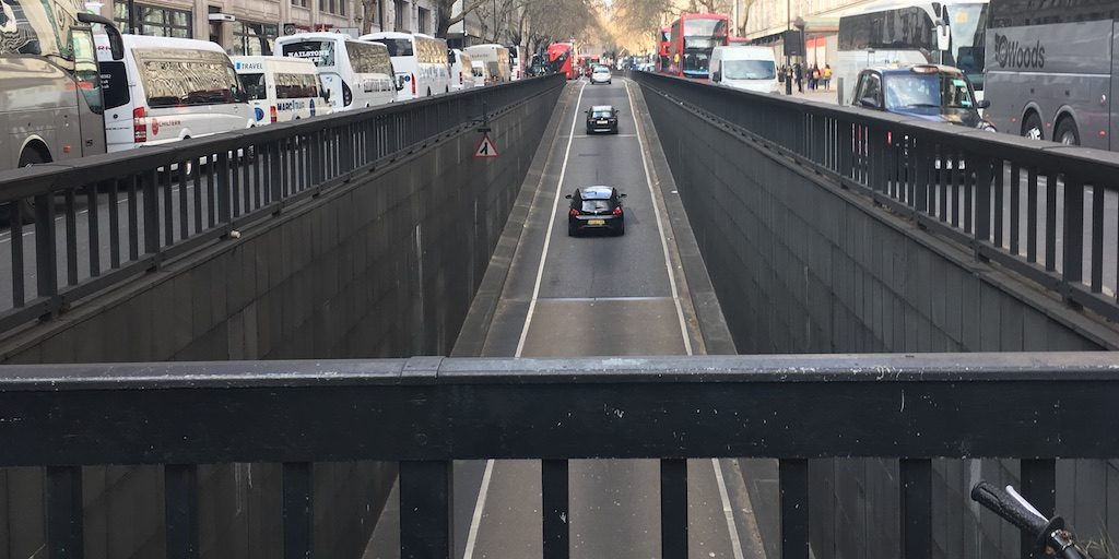
Editors’ note: The Strandlines editors are always scouring for news and research about the Strand area. Below we’re delighted to be sharing an extract from ‘Here’s everything we learned from this map of London’s defunct tram network’, by Jonn Elledge. You can read the entire article on CityMetric. Anyone who has worked, studied around, or…
Read MoreLayers of the Strand
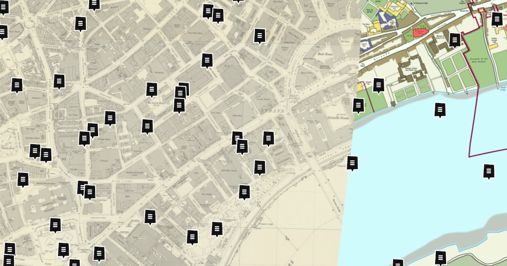
Today, I have been time travelling. I explored the farm around Trafalgar Square. I squeezed into a tiny top room in Devereaux Court to hear Isaac Newton speak. I paid a ferryman tuppence to take me to the floating coffee house on the Thames to look over the water at Somerset House. This is all…
Read MoreSearching for ‘green’
The Northbank Bid have collaborated with Groundwork and King’s College London scientists to suggest ‘Green Walks’ around the Strand area. You can download the map with suggested loops and routes from the Northbank website. The idea is to help Londoners and tourists to avoid the most polluted streets as they travel from A to B:…
Read More
